services
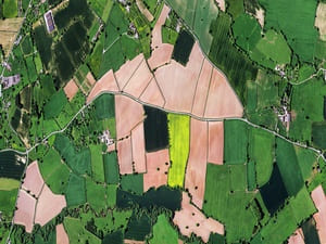
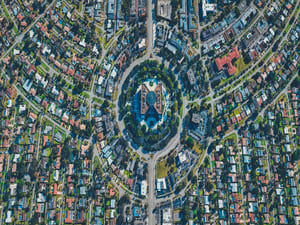
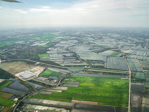
Aerial 2D and 3D Mapping
Accurately map properties, construction sites, and more with advanced 2D and 3D drone mapping services from .
Our drone mapping services provide highly detailed and accurate visualizations for a wide range of projects, including property surveys, construction planning, and land assessments. By utilizing drone technology, we can efficiently capture data that traditional methods often miss.
2D maps offer a comprehensive overhead view ideal for understanding surface layouts, while 3D models provide a dynamic and immersive way to assess elevation changes and structural elements. These tools are invaluable for real estate developers, surveyors, and agricultural professionals seeking precise data.
At , we handle everything from initial data capture to post-processing, ensuring a seamless experience with results you can trust. Our expert team delivers high-quality, actionable insights for your next project.
DISCOVER WHAT OUR CUSTOMERS HAVE TO SAY ABOUT US
REVIEWS
REVIEW US ON GOOGLE
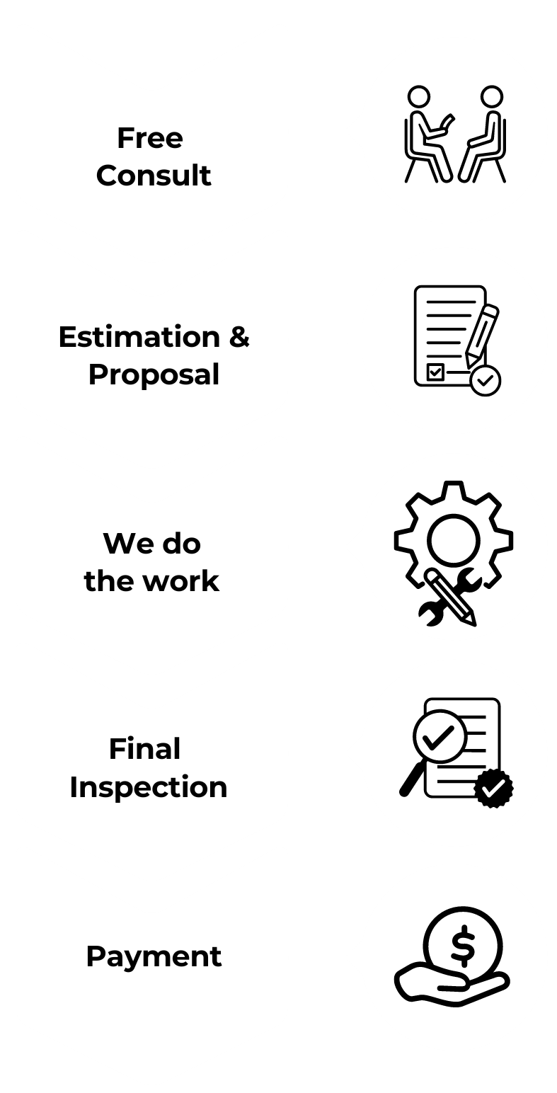
our process
Our process is simple and only contains a few simple steps
proudly serving these areas
Richmond
Charlottesville
Lynchburg
READY TO take the next step?
get a free quote TODAY!
CONTACT
business
our services
service areas
operating HOURS
24/7